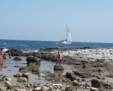
How to get there
Natural rocky access must be checked on site; do not assume an equipped descent.
If an access point is closed or altered, do not improvise shortcuts: use authorised routes only.
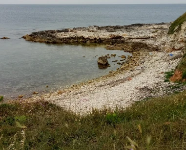
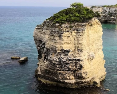
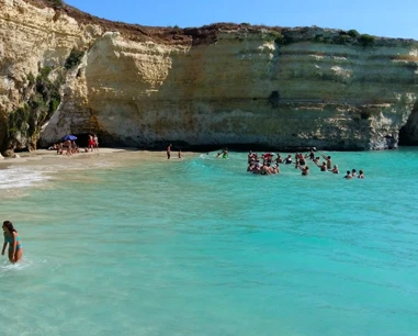
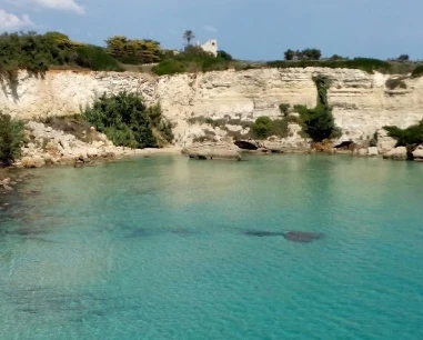
“Calamuri” is a real place-name south of Otranto, also confirmed by the Speleological Register through Vora Calamuri. No institutional boundary for a standalone beach was found, so the pin is an area reference rather than a certified sea access.
“Calamuri” is a real place-name south of Otranto, also confirmed by the Speleological Register through Vora Calamuri. No institutional boundary for a standalone beach was found, so the pin is an area reference rather than a certified sea access. Several cliff sectors south of Otranto are subject to landslide-related exclusions. Because independent boundaries for “Spiaggia di Calamuri” were not verified, this guide does not promise bathing access; follow current signs and ordinances.
Natural rocky access must be checked on site; do not assume an equipped descent.
If an access point is closed or altered, do not improvise shortcuts: use authorised routes only.
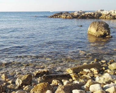
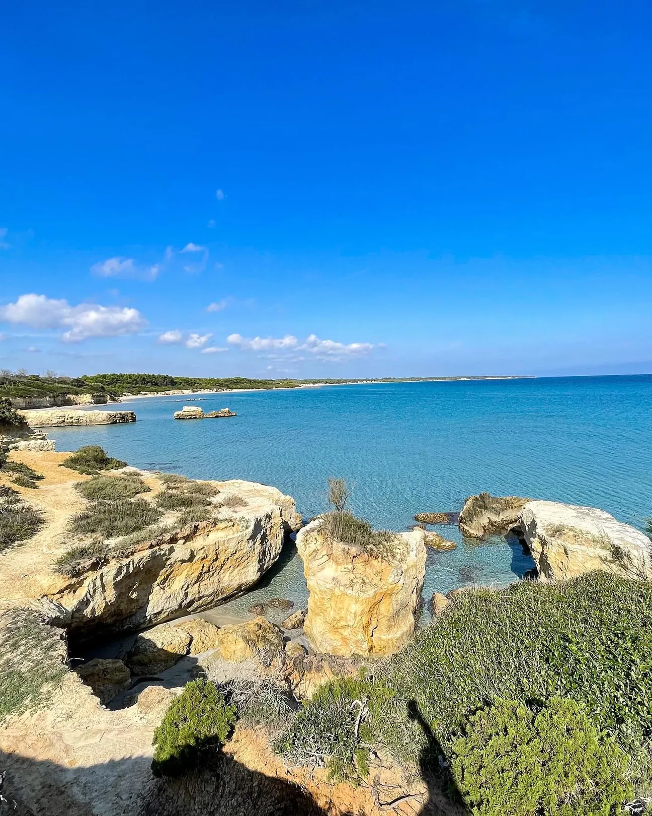
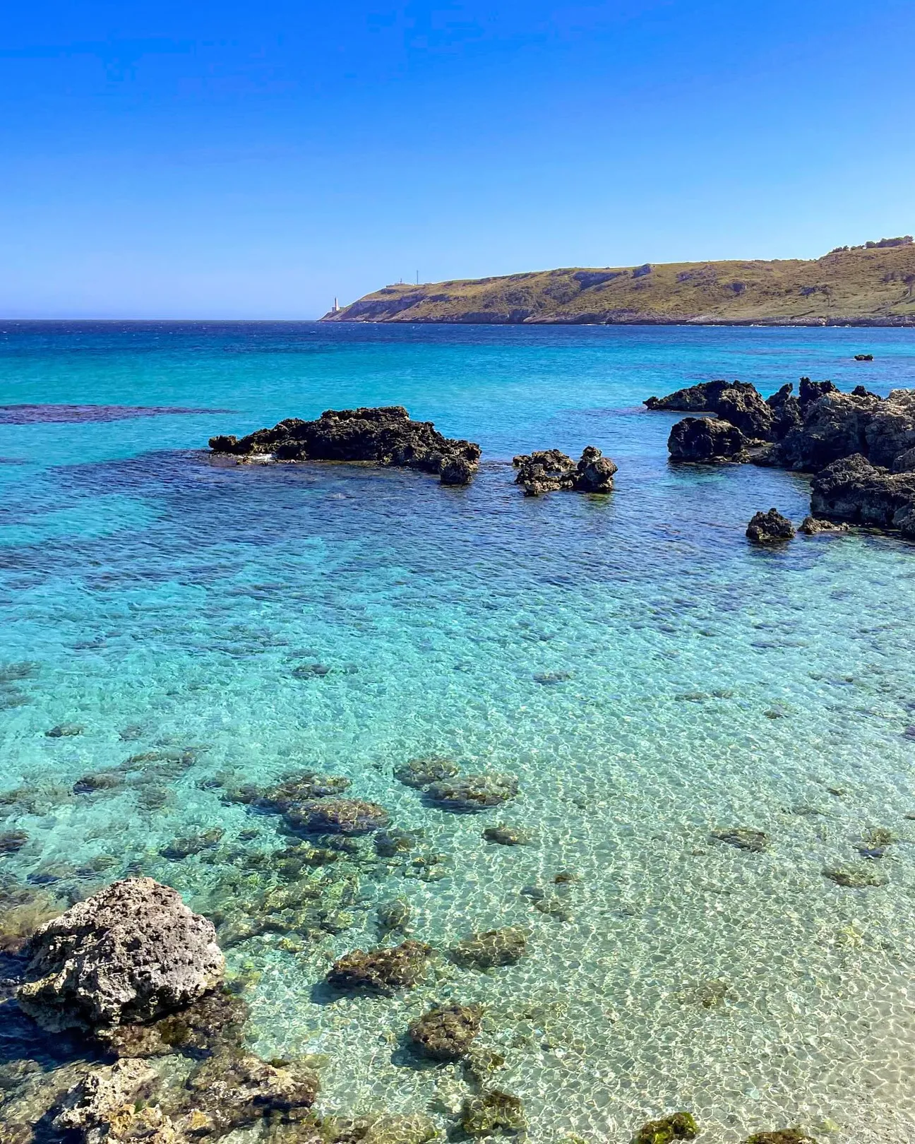
Rocky coast with variable depth; do not assume shallow water.
Before moving away from shore, identify a safe exit point and do not enter if waves or current exceed your ability.
Not our first choice for toddlers, frail older visitors or anyone uncomfortable on rocks.
Before planning the day, consider access, distance from services, crowding and how easy it will be to get back.
No dedicated car park is guaranteed for the exact point; use legal areas only.
Do not leave valuables visible in the car and do not occupy verges, access points or unauthorised spaces.
No direct facilities are guaranteed at the exact point; bring water and sun protection.
Bring water and a small snack anyway, especially on free or natural stretches.
Trails, rock and gradients prevent a universal-access claim.
If you have specific mobility needs, check before leaving whether the route is genuinely usable that day.
Several cliff sectors south of Otranto are subject to landslide-related exclusions. Because independent boundaries for “Spiaggia di Calamuri” were not verified, this guide does not promise bathing access; follow current signs and ordinances.
If signs or barriers on site are more restrictive than this guide, the instructions on site always take precedence.
Choose it for scenery, local history or a less conventional coastal stop; do not force sea access when the site is unsuitable for bathing.
First check access, signs and sea conditions.
Bring suitable walking shoes, water, a hat and sunscreen; use water shoes only where bathing is actually permitted.
Keep your phone and documents in a waterproof case and carry your gear in a compact backpack.
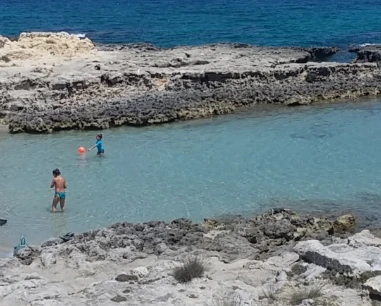
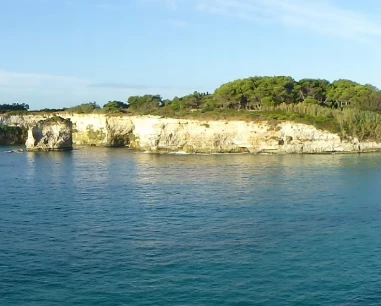
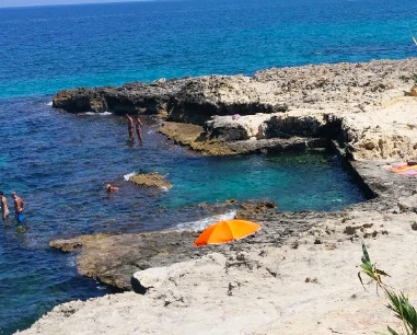
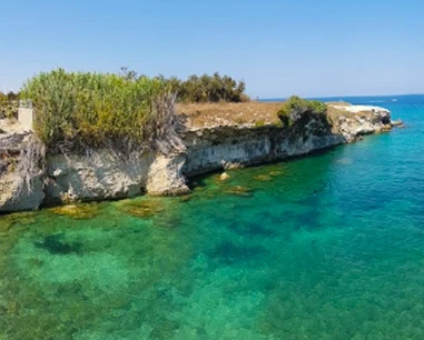
The gallery shows the available and verified photographs for this place.
Have you photographed this beach or a beach club located here? Send your image to Salentissimo.it.
The photo and the details you enter will be emailed to the editorial team and checked before possible publication among the photographs of this beach.
Beach clubs and bathing establishments linked to this location.
Add it to the portal for free.
Add beach clubContinue along the same coast with the linked guides.
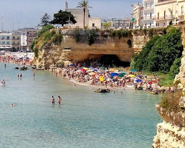
The historic guide also used the local name “Filu de Mienzu”. The maritime ordinance officially identifies “Spiaggia San Nicola” on the cliff southeast of the harbour and defines a restricted sea area because of landslide risk.
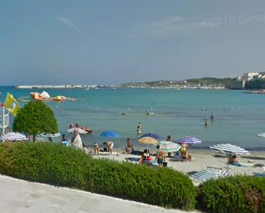
This central beach is also known as Spiaggia dei Gradoni: fine sand, free and serviced sections, with immediate access from the promenade.
An urban beach just north of central Otranto, with fine sand, generally shallow water in the sandy sections, free areas and nearby beach clubs: convenient if you want sea and town within walking distance.
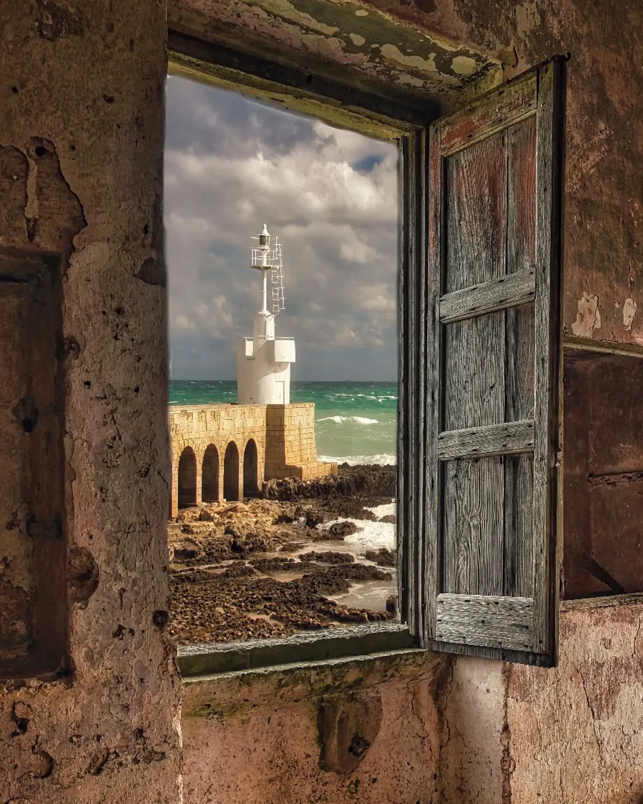
Otranto’s white maritime light at Punta Craulo, north of the harbour, beside Porto Craulo beach and low rocky shoreline.
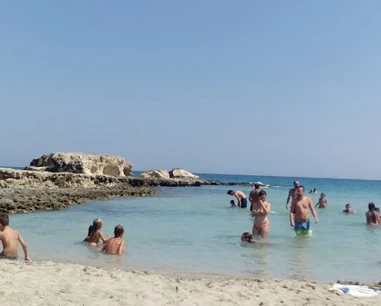
A small free cove north of Otranto between La Castellana and Canale del Càfaro, with a mixed sand-and-rock shoreline.
A small rocky inlet on Otranto’s northern coast, between Staffa and the coves towards Grotta Monaca: clear water, paths and steps for access, an interesting seabed for snorkelling and virtually no facilities in the cove itself.
Cattapìgnula means “bat” in local dialect; local sources describe a cave used by bats and a sea-accessed cavity. The pin is approximate for the coastal sector.
A small rocky cove north of Otranto on the Hermit Trail, among caves and low limestone cliffs.
A rocky cove on Otranto’s northern coast, known for its large semi-submerged cave. Today the visit must be planned around cliff-safety rules first: maritime restrictions linked to landslide risk are listed for this stretch of coast.
A large sea cave north of Otranto in the Mulino d’Acqua cave system, close to several neighbouring caves.
Sapunerò is a rocky landmark on Otranto’s northern coast, along the route between Grotta Monaca and Mulino d’Acqua; the pin is approximate because no standalone institutional coordinate was found.
A spectacular bay of cliffs, small inlets and sea caves. Today, however, the most important thing to know before you go is that sea access, bathing and remaining below the cliff are affected by safety restrictions.
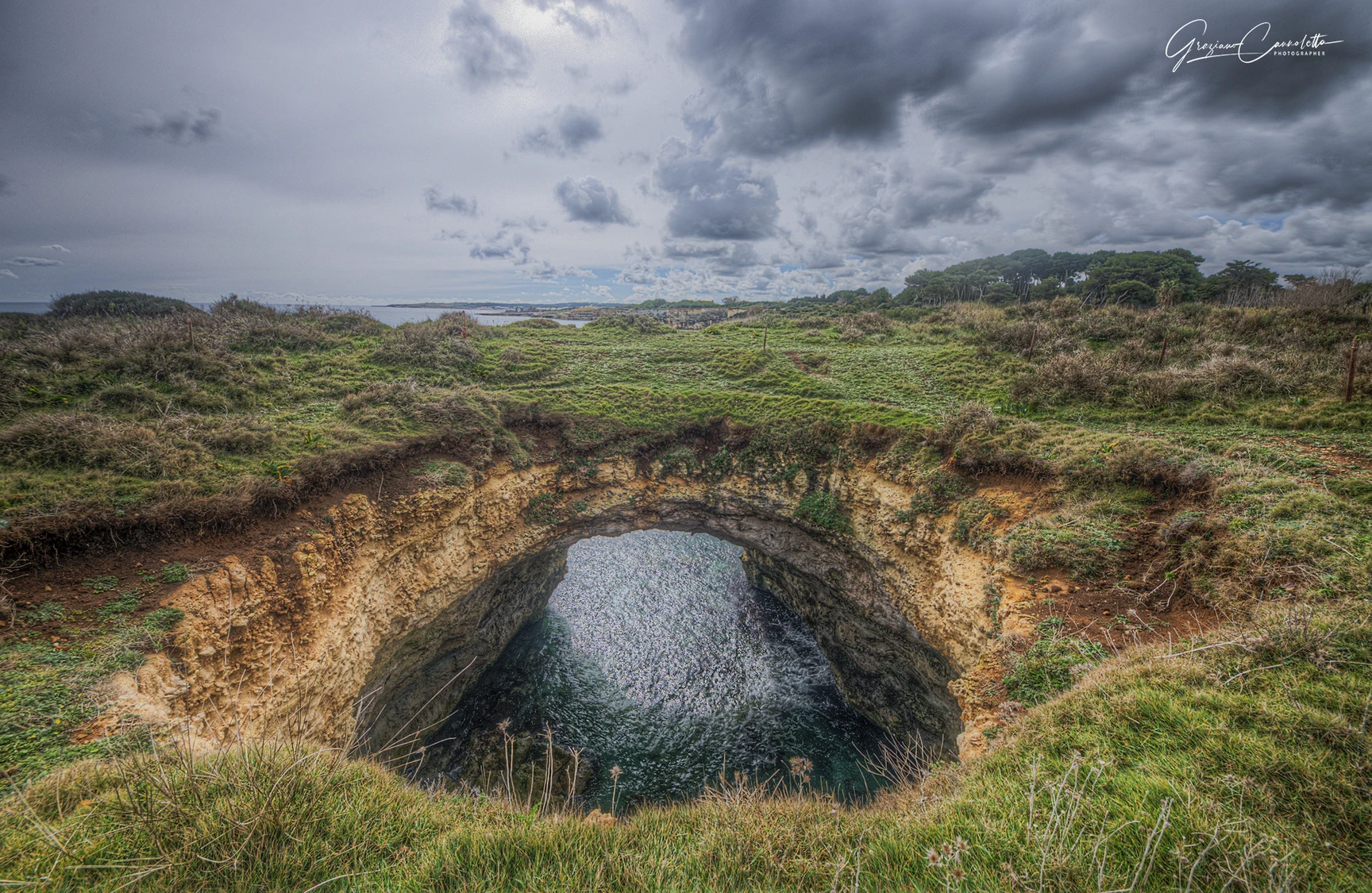
Otranto’s famous coastal cave with a collapsed roof and a large opening to the sky, in the Mulino d’Acqua cave system.
A secluded rocky bay north of Otranto, between the Mulino d’Acqua sector and Torre Santo Stefano, commonly visited from the sea.
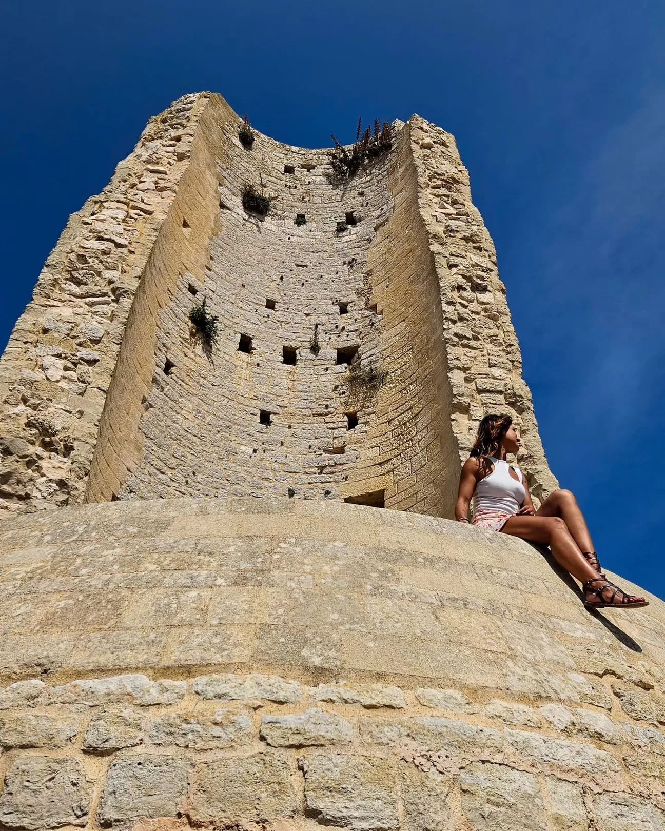
The ICCD cultural-heritage record describes Torre del Serpe as a coastal tower about 200 m from the sea and 35 m above it; tradition links it to an earlier lighthouse, while today it survives as a partly ruined structure.
A sea cave in Mulino d’Acqua Bay, immediately beside Grotta Sfondata and reached from the sea.
This guide mainly covers Lungomare degli Eroi, the public promenade beside the historic centre; it should not be confused with Lungomare Terra d’Otranto or Lungomare Kennedy.
Choose a service and view all available businesses and information on its dedicated page.
Navigation follows the coastal resort configured for this location.
Location, access, sea, families, safety and practical information.